To strengthen biodiversity conservation and management processes on the The abovementioned extension program aimed to introduce the basics of GIS and apply them to the conservation and management of biodiversity resources present in the municipality of Bani. The program was divided into five parts: 1) introduction to GIS and its applications to biodiversity conservation, 2) mapping, 3) introduction to the software and basic operations, 4) creating and saving a project, and 5) introduction to global positioning system.
Prof. Jesamine F. Rebugio discussed the first part of the program, the introduction to GIS and its applications to biodiversity conservation. She highlighted the role of GIS in analyzing, storing, and visualizing geographic data. Specifically applied to biodiversity conservation, GIS has become a powerful tool. It aids in mapping species distributions, identifying critical habitats, and assessing environmental changes impacting biodiversity. As a powerful tool, GIS can help BaniLGU craft information-based decisions, plan protected areas, and manage resources effectively by integrating spatial data with ecological knowledge; therefore, contributing significantly to preserving and understanding a diverse ecosystem.
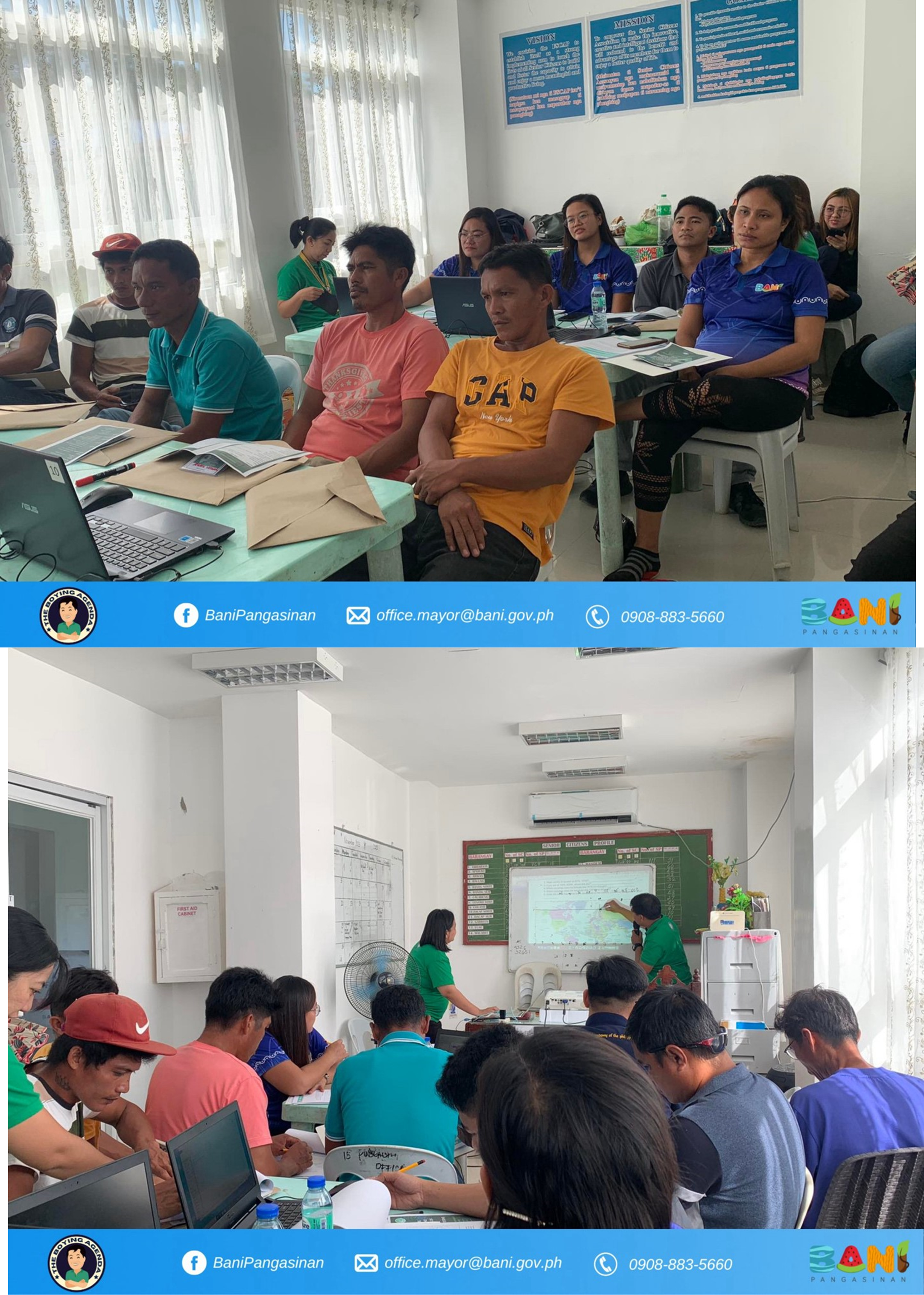
Mr. McFerdie C. Bacton discussed the second part of the program, the basics of a map. He elaborated on the definition of a map, its components (i.e., scale, legend, projections), coordinate systems, map projections, datum, and reference systems. He emphasized that understanding these elements is crucial in creating accurate and meaningful maps for biodiversity purposes. He also mentioned that maps are essential tools in GIS by providing a graphical interface to display and analyze spatial information. With this, Bani-LGU will be able to comprehend, interpret, and make information-based decisions on geographic relationships and patterns.
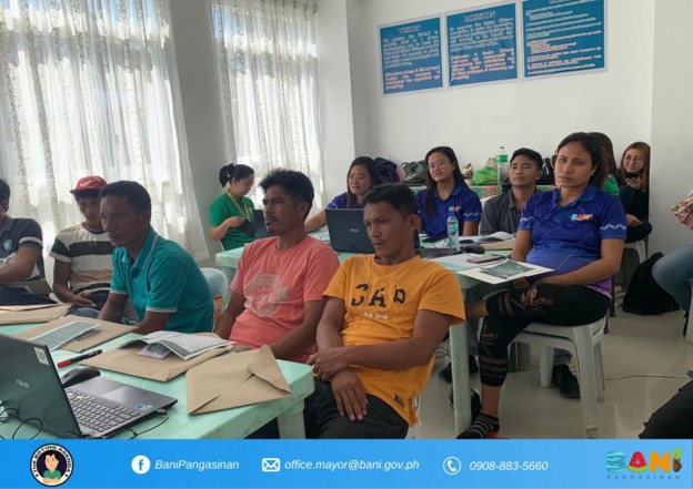
The introduction to GIS software and basic operations, the third part of the extension program, was discussed also by Mr. McFerdie C. Bacton. He talked about the general features of the GIS software, the process of downloading and installing the software, fundamental aspects (i.e., menu options, toolbars, and icons), establishing project directories, and data organization. In this training, QGIS software was utilized. The participants were able to experience first-hand in exploring the mentioned GIS software. Thus, the participants comprehensively understood the software functionality and its practical implementation. This activity forms the groundwork, providing participants with essential skills needed to efficiently navigate and utilize GIS tools. This part of the program helped the Bani-LGU become adept at handling spatial data and performing crucial analytical tasks that are essential for various GIS applications.
Dr. Weenalei T. Fajardo discussed the fourth part of the program, creating and saving a project in QGIS. She accentuated about importing data, storing and retrieving information, conducting queries, managing labels, defining themes and settings, and inputting attributes. This activity holds immense importance in GIS training as it encompasses fundamental aspects essential for effective utilization of GIS tools. Mastering these aspects enhances the capacity of LGU-Bani to handle diverse datasets and perform various analytical tasks, laying the groundwork for comprehensive proficiency in GIS operations and applications. Hence, this allows LGU-Bani to retain all data layers, settings, and map configurations for future use or modifications in QGIS.
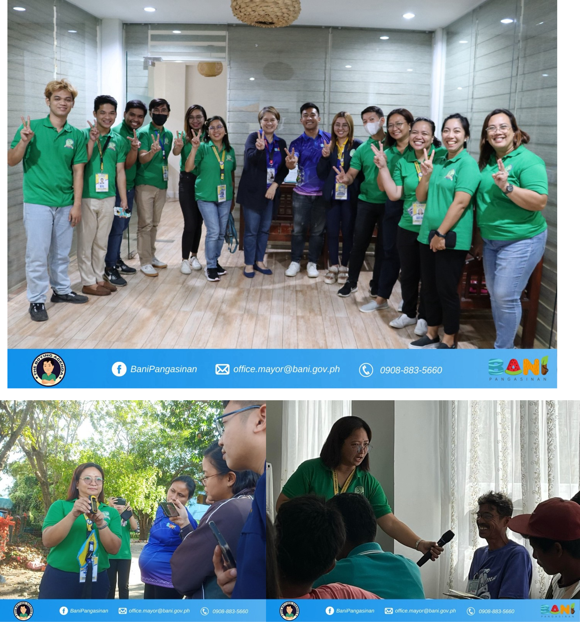
Prof. Jesamine F. Rebugio and Prof. Sharlene Cherry S. De Guzman discussed the fifth and last part of the extension program, the introduction to the global positioning system (GPS). This part of the program allowed the participants to go outside of the Senior Citizen’s Building and use GPS devices to locate specific points. This field activity carries immense significance in GIS training as it involves practical, real-world engagement. Through hands-on exercise, participants directly engage in data capture techniques and gain practical experience in using GPS receivers. This direct involvement fosters a deeper understanding of how to effectively capture and manage geographical data, enabling participants to apply this knowledge in real-life scenarios — a vital for Bani-LGU proficiency in GIS applications and spatial data handling.
The program catered primarily to officers from the Bani-LGU, many of whom serve as bantay-dagat and bantay-gubat. The training holds immense significance for them as it amplifies their capacity to manage biodiversity effectively. The participation and engagement of Bani-LGU are poised to bring forth a substantial enhancement in their ability to employ GIS tools for preserving the rich biodiversity of Bani, demonstrating a significant step towards sustainable environmental and biodiversity management.
With the successful completion of this initial training, the Natural Science Department of PSU-LC is gearing up for a second phase scheduled for February 2024.
The commitment of the Natural Science Department to empower and train local authorities with advanced skills highlights its strong commitment to nurturing environmental stewardship within communities. This initiative sets a strong precedent for collaborative efforts between academic institutions and local governance in preserving ecological balance. The success of this program is not just measured by its conclusion but by the enduring impact it will have on the preservation, conservation, and sustainable management of the diverse ecosystems located in Bani, Pangasinan.


